

Jul 30, 2020
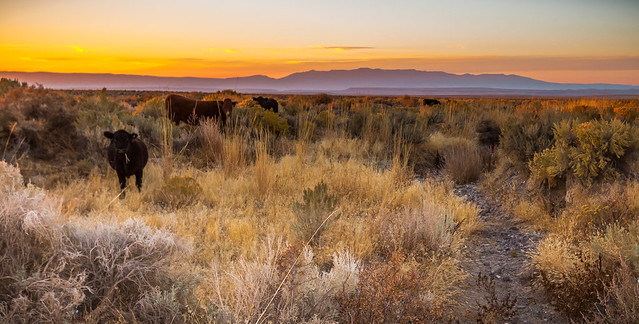
Drought can be a serious game changer for rangeland, wildlife and wildland fire managers. America’s 662 million acres of public rangelands support wildlife like sage grouse, game species like deer and elk, and support rural communities by providing forage for livestock and places to enjoy the great outdoors.
This is why ranchers and range management specialists have a long history of working together to assess healthy range conditions. Until recently though, the lack of cost-effective and impartial monitoring of range conditions has been a challenge.
In 2018, the USDA Forest Service Rocky Mountain Research Station (RMRS) rose to that challenge when research ecologist Matt Reeves partnered with private industry and developed the Rangeland Production Monitoring Service (RPMS), an online tool for managing healthy rangelands that’s available to everyone.

The RPMS features maps and data on rangeland forage between 1984 and 2019 and is updated every year. It also projects available forage in future growing seasons to help with annual operating plans and grazing permits.
RPMS proved invaluable in 2017 and 2018, when several Arizona counties experiencing severe drought were able to identify where available forage was most affected and planned accordingly.
The RPMS application has also helped ranchers qualify for assistance through other programs like the Environmental Quality Incentive Program (EQIP), which provides financial and technical assistance to agricultural producers to address environmental and resource concerns. Reeves worked with the Natural Resources Conservation Service (NRCS) to identify eligible ranchers, and developed a targeted conservation strategy as part of USDA Strategic Goals.
The USDA Farm Service Agency is also using RPMS. Through its Livestock Forage Disaster Program, Forest Service permit holders and other producers may receive financial compensation due to forage loss.
Users outside the livestock industry have also taken notice. Most recently, wildland fire managers are using the RPMS forage projections to estimate wildfire potential. While fires in national forests capture public attention, rangeland fires can burn just as often and can spread farther and faster than fires on the forest.
“We’ve stepped up the game for the fire and fuels folks,” said Reeves. “We’re directly translating those projections into fuel so fire managers can make a weekly projection of the fire behavior.”
Reeves envisions other uses for this data, like how rangelands are managed under a changing climate. “As managers and producers, we need to understand the impacts of our management and the climate that’s been unfolding over the last 30 to 40 years,” he said. “It’s important to use this information for prioritizing where we might want to change our management scheme.”

Source: U.S. Department of Agriculture
Brought to you by China News – press release distribution service of Topic News PR.